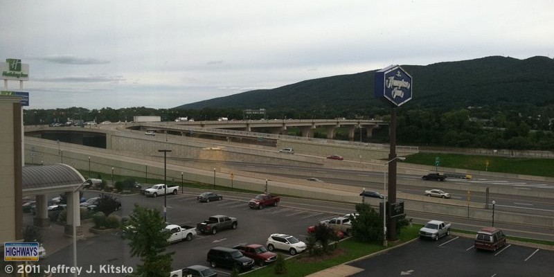
After the 65th Little League World Series champion was crowned last month, the first Williamsport Road Enthusiast Meet was held this month, specifically today. I’d like to thank all who attended and for making the trip for the 2011 Williamsport Meet, the first meet in north central Pennsylvania.

The meet began as usual at 12 PM at the Bullfrog Brewery in downtown Williamsport. The food was good as well as the conversations. Mike Pruett brought some Maryland official highway maps and I brought copies of the new Turnpike System map as well as some old copies of the Pennsylvania official highway map for everyone.
After lunch, we hopped in our cars and followed US 15 to see the improvements made to the corridor over the past decade in order for it to be designated Interstate 99. There are numerous signs along the way denoting it as the “Future I-99 Corridor.”
The first stop of the 2011 Williamsport Meet was at the Cogan House interchange, just north of the PA 14 interchange. What is interesting about this particular interchange is that the road that connects the two directions of US 15 are the original southbound lanes. They needed to be replaced due to sharp curves at the bottom of the Steam Valley hill, but the section here was retained and turned into an interchange for Cogan House.
We continued north to the next stop, at the next interchange, at PA 184 in Steam Valley. Prior to 2010, this was an at-grade intersection, but of course had to be upgraded to an interchange for the Interstate 99 designation to be applied. In order to create the junction, the right-of-ways of both US 15 and PA 184 were changed. As I mentioned above, the existing southbound lanes could not be used, so the new ones were shifted eastward and the alignment of PA 184 was shifted southward. An interesting anomaly was created in that PA 184 technically doesn’t end at US 15, but rather just to the east of the diamond interchange at Steam Mill Road.
I asked the group if they wanted to clinch US 15 from Williamsport to the New York state line, and everyone agreed we might as well since we were that far north. Crossing into New York, the roadway narrows down to two lanes through an interesting temporary interchange with very modern-looking light poles to illuminate the path. We made the first right to head back into Pennsylvania onto a road that connects to the old route of US 15 now known as Steuben County Route 115. Once in Lawrenceville, a few continued onto PA 287, which was extended northward after the expressway was completed to the west, and the rest onto PA 49 to head south on US 15.
The final stop of the 2011 Williamsport Meet tour was the beautiful Tioga Welcome Center, just south of the PA 287 interchange, which overlooks the Tioga Reservoir. Many have compared the recent flooding in the northern part of the state to that seen in the wake of Hurricane Agnes in 1972. That event was the impetus for construction of the reservoir, as the Allegheny Reservoir demonstrated the need by saving western Pennsylvania the destruction seen in the eastern part of the state.
I showed the group the original path below of US 15 through Tioga and how it’s alignment is now underwater. Everyone was able to pick up brochures and maps. Not only the 2010 official state one, but also the 2008 Trucker’s Guide to Pennsylvania. It is a black-and-white version of the regular map. However, the only colors on it denote the various truck routes. Also included is specific information for “gear jockeys” such as low clearance points and locations of steep grades. After taking the group picture there with the spectacular backdrop, we said our farewells, and headed to our respective destinations.
